Today
Sep 14
Rain
20°
Low 12°
Rain chance75%
Rain total22.7 mm
Max wind27 km/h

OpenAir
Atlantic
Live conditions · Summerside, Prince Edward Island
Summerside is wet right now
Summerside right now
Feels like 18° · Overcast
Summerside is already dealing with overcast right now. Wind is 6.4 km/h from the SSE. Air quality is favorable. Wait for a drier break or keep this stop very short.
Wind
6 km/h SSE
UV
0
Air
1.3 AQHI
Updated 5:16 a.m. · Environment Canada
3-hour window
Rain is here now
Rain is already on top of Summerside. Wait for a break before heading out.
Activity match
Skip today
Active precipitation is already on top of this location.
Skip today
Active precipitation is already on top of this location.
Workable
Indoor plans fit better until the wet weather eases off.
Tonight
Low of 12°C · Rain
Rain chance
75%
Wind peak
27 km/h
Tomorrow morning
10° → 15°C · Overcast
Rain chance
2%
UV peak
5.5
Plan the school run and morning commute around this.
Per-beach live readings
Walking verdict per park
Active precipitation is already on top of this location.
Summerside's signature waterfront park — a 3 km paved trail loop along Bedeque Bay, bandshell, splash pad, and the city's main festival grounds.
Tides · wind · water · trails
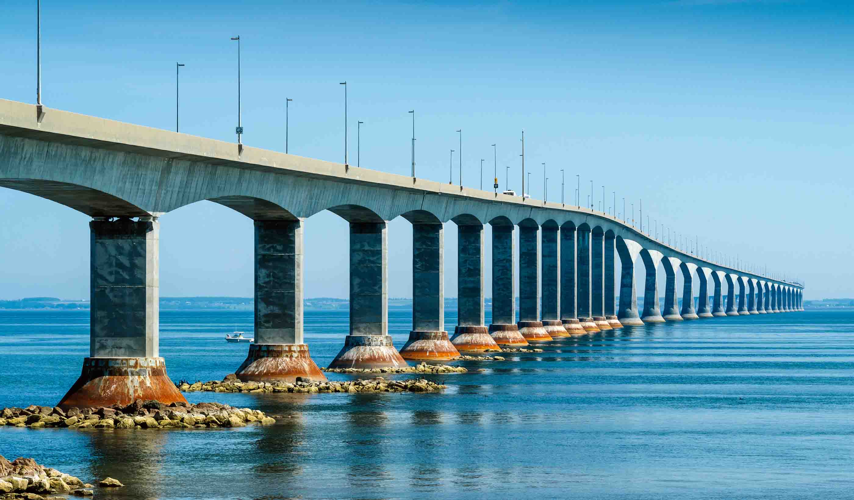
Calm conditions on the bridge deck right now.
14 km/h SE
Live wind from the Summerside observation station — the closest active station to the bay waterfront and downtown.
Swimmable for most people, especially after a few minutes of getting in.
19.0°C · Northumberland Strait
Live read from the Northumberland Strait DFO buoy — Bedeque Bay opens directly onto the Strait.
Daylight today
Solid daylight window — pace your day.
Sunrise
6:53 a.m.
12h 38m of daylight
Sunset
7:31 p.m.
Charlottetown wind
Wind is 6 km/h from the SSE, with gusts near 10 km/h — calm conditions across the area.
Environment Canada · Charlottetown Airport
Rain today
Heavy rain has fallen in Summerside today (22.7 mm) — flooding and runoff worth watching.
22.7 mm today · Open-Meteo
Severe weather watch
No active severe weather warnings or watches from Environment Canada for the Charlottetown area right now.
0 active EC alerts
7-day forecast
Daily outlook from Open-Meteo, with current conditions blended from Environment Canada.
Today
Sep 14
Rain
20°
Low 12°
Tue
Sep 15
Precipitation radar
Tap markers for nearby live conditions · Toggle radar to see incoming rain
Live conditions
Common questions
Summerside has its own Environment Canada weather station, so the temperature, wind, UV index, and air quality on this page reflect conditions measured directly in the city. The OpenAir verdict at the top translates those readings into a plain-English call on whether right now is good for outdoor plans.
Linkletter Provincial Park is the closest managed beach — 15 minutes west on Route 11 with warm Bedeque Bay water and full facilities. Cedar Dunes Provincial Park at West Point is a longer drive but has some of the best swimming on the Island. The beach cards on this page show live conditions for each, so pick the one with the best Go/Caution/Skip rating right now.
The Rotary Friendship Park waterfront trail is open year-round, with the paved 3 km loop accessible in all seasons. We surface live wind, UV, and rainfall on this page so you can see if it's a comfortable day for the walk before heading out.
Summerside's main outdoor spaces are Rotary Friendship Park (3 km waterfront trail), Memorial Park downtown, the Wyatt Heritage Cultural District waterfront, Credit Union Place Park, and Sunfish Pond Nature Park. The Confederation Trail also runs through Summerside, connecting east across the Island.
Know before you go
Weekly PEI conditions intel — we'll tell you when it's worth heading out.
No spam. Unsubscribe any time.
For businesses & websites
Embed live Summerside conditions on your site
A single line of code. Auto-updates every 10 minutes.
Active precipitation is already on top of this location.
Outdoor plaza beside the main arena with walking paths, community garden, and open green space.
Active precipitation is already on top of this location.
Downtown Summerside's central park — trees, benches, a monument, and the heart of summer events.
Active precipitation is already on top of this location.
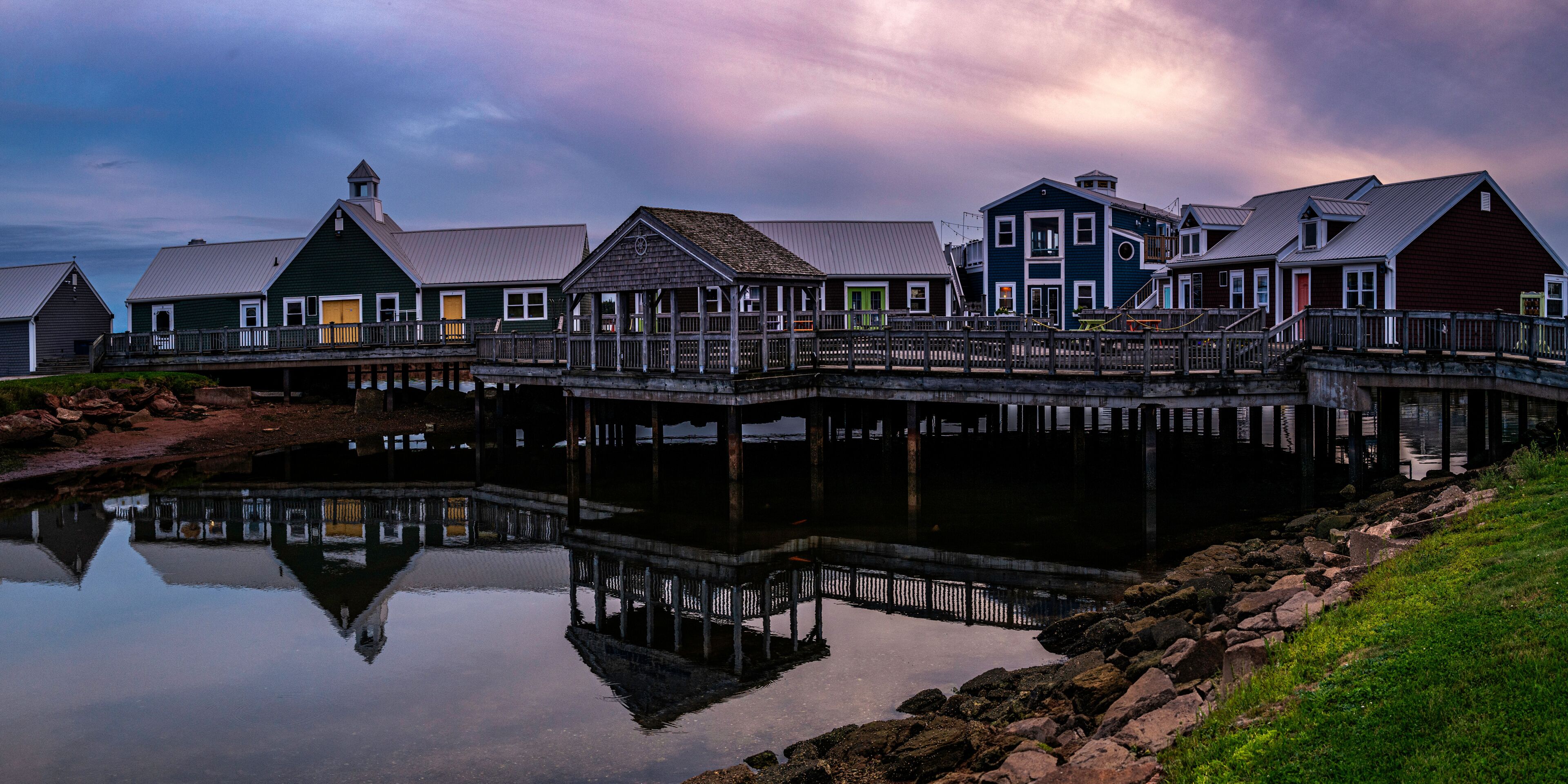
Restored 19th-century buildings with public green space fronting Bedeque Bay — venue for theatre and cultural events.
Active precipitation is already on top of this location.
Quiet nature park with a small pond, boardwalk sections, and bird habitat — popular with local birders and dog walkers.
Active precipitation is already on top of this location.
Wait for better conditions
Walking verdict for the paved waterfront trail, scored against current Summerside conditions.
Next low tide at 8:20 a.m. — exposed sandbars and easy beach access.
Low · 0.6 m
DFO tide prediction for the Charlottetown station — Bedeque Bay tides run roughly 20 minutes later.
Pressure trend
Pressure is 1004 hPa, in the low range — unsettled weather is more likely while it stays here.
1004 hPa · low
Overcast
15°
Low 10°
Wed
Sep 16
Overcast
17°
Low 13°
Thu
Sep 17
Light drizzle
16°
Low 12°
Fri
Sep 18
Light drizzle
16°
Low 11°
Sat
Sep 19
Partly cloudy
15°
Low 10°
Sun
Sep 20
Rain showers
16°
Low 12°
We pull the live wind reading from the Summerside observation station, the closest active site to the bay. Sustained winds above 40 km/h make the exposed waterfront trail noticeably gusty; above 60 km/h, Linkletter Beach and the open bay shore can be uncomfortable for anything but photography.
Summerside uses Charlottetown harbour tide predictions from Fisheries and Oceans Canada — the closest official station, with Bedeque Bay tides running roughly 20 minutes later. The next high and low tide times appear in the Summerside intel block on this page, updated throughout the day.
Sunrise and sunset times update daily on this page, calculated for Summerside's coordinates (46.389°N, 63.791°W). In peak summer, expect daylight from before 5:30 AM until nearly 9:30 PM; in midwinter, the window narrows to roughly 7:50 AM to 4:20 PM.
Yes — the Confederation Trail runs through Summerside and connects to the island-wide network. The paved section from the city links east toward Charlottetown and west toward Tignish across flat, car-free terrain. Live conditions for the nearest trail section appear on the Confederation Trail page.
Summerside is about 71 kilometres west of Charlottetown along the Trans-Canada Highway (Route 1) — roughly a 50-minute drive. T3 Transit's regional routes connect the two cities on weekdays.
Comfortable conditions for the beach right now.
The most popular beach near Summerside — managed provincial park on the south shore of Bedeque Bay with a long red-sand shoreline, warm Northumberland Strait water, and full amenities.
Comfortable conditions for the beach right now.
A 45-minute drive west of Summerside but worth it — a wide red-sand beach at the tip of the Island with the iconic West Point Lighthouse and warm Gulf water.
Comfortable conditions for the beach right now.
Summerside's downtown waterfront — a paved walking trail along Bedeque Bay with harbour views, public art, and a small beach area popular for evening walks.